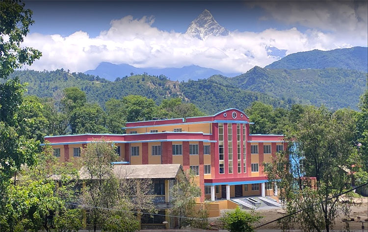
The Department of Geomatics Engineering, Pashchimanchal Campus (Institute of Engineering – Tribhuvan University, Nepal) is pleased to host an intensive training program on 3D Surveying and Modelling Techniques for Cultural Heritage Documentation. This event aims to equip participants with cutting-edge methodologies and tools for accurately documenting cultural heritage sites using advanced geospatial technologies.
- To provide hands-on experience in 3D surveying and modelling techniques using advanced equipment and software.
- To demonstrate the application of geospatial technologies for heritage site documentation and conservation.
- To encourage international collaboration in the field of cultural heritage preservation.
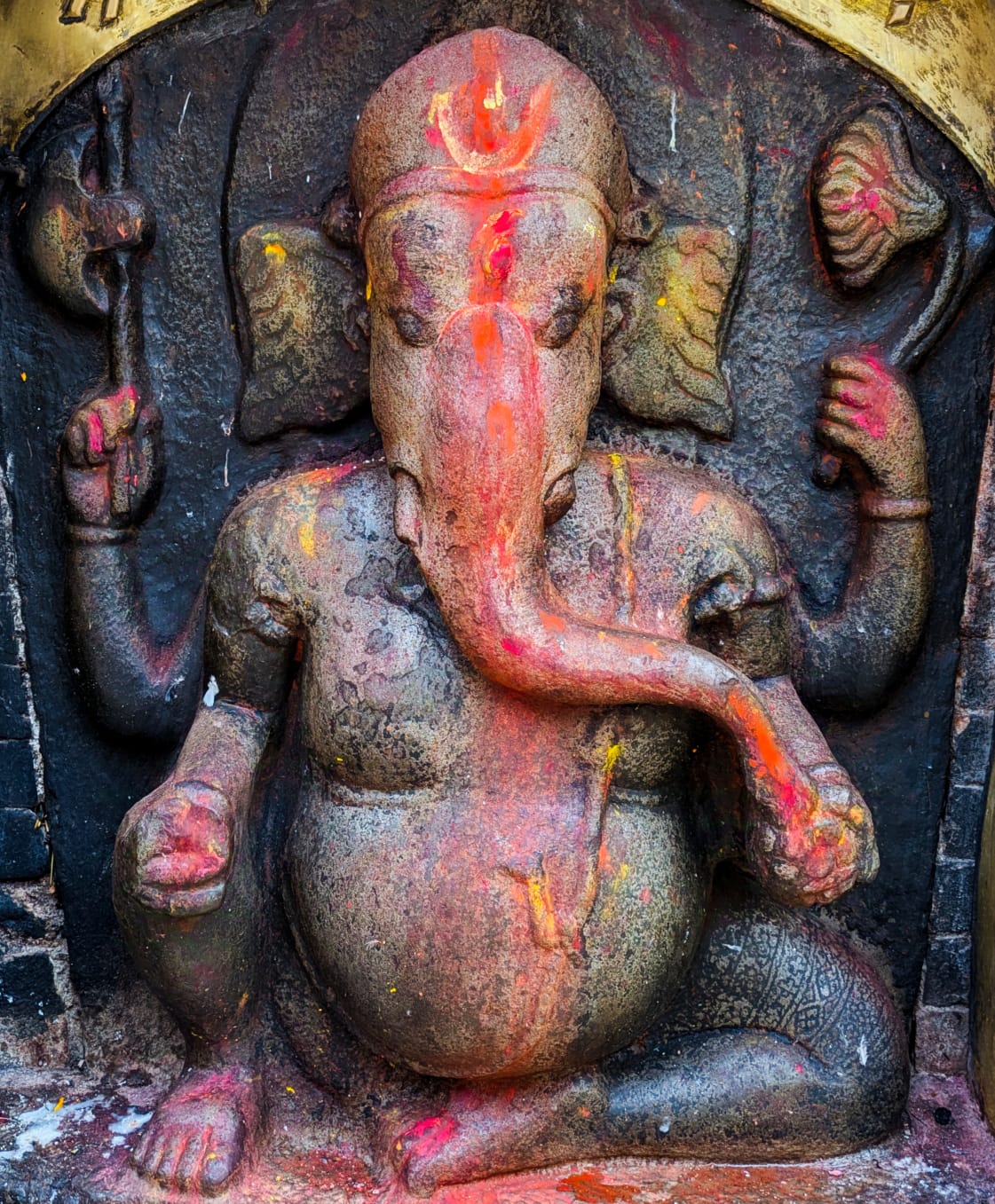
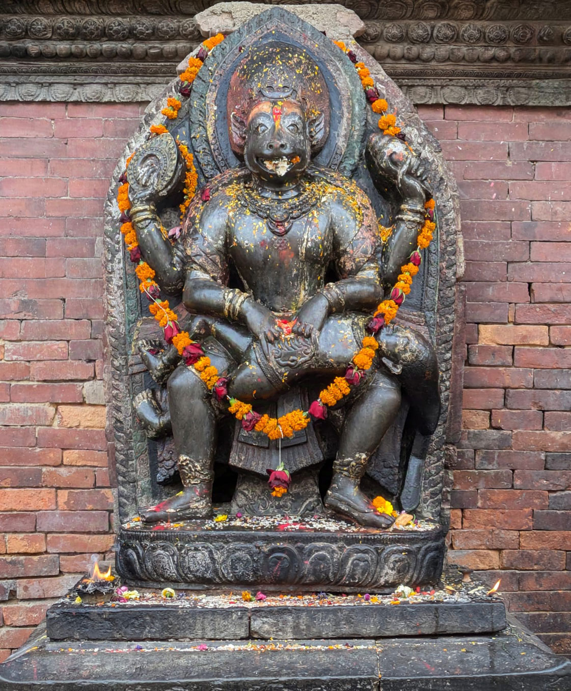
- Fundamentals of 3D surveying and photogrammetry.
- Application of terrestrial laser scanning (TLS) and UAV-based photogrammetry.
- GIS and BIM integration for heritage documentation.
- Case studies on heritage site conservation using geospatial technologies.
- Hands-on training in 3D data processing, visualization, and modelling.
The program includes theoretical lectures that cover both fundamental concepts and advanced techniques in the field.
Participants will engage in field data collection using modern surveying equipment and UAV-based photogrammetry.
Hands-on sessions are designed to enhance skills in data processing, visualization, and 3D modeling.
| 15 January 2026 | Lectures |
| 17 January 2026 | Field Work |
| 17 January 2026 | Field Work |
| 18 January 2026 | Data Processing and Cultural Night |
| 19 January 2026 | Data Processing and Group Presentations |
This program is ideal for geomatics engineers, surveyors, and GIS professionals seeking advanced skills in spatial documentation. It also benefits architects and conservationists involved in cultural heritage preservation. Academicians and researchers in surveying, remote sensing, and heritage conservation will find it highly relevant. Additionally, it supports government agencies and NGOs working in heritage management.
- Gain practical experience with the latest 3D surveying technologies.
- Learn from leading experts in the field.
- Network with professionals, researchers, and heritage conservationists from around the world.
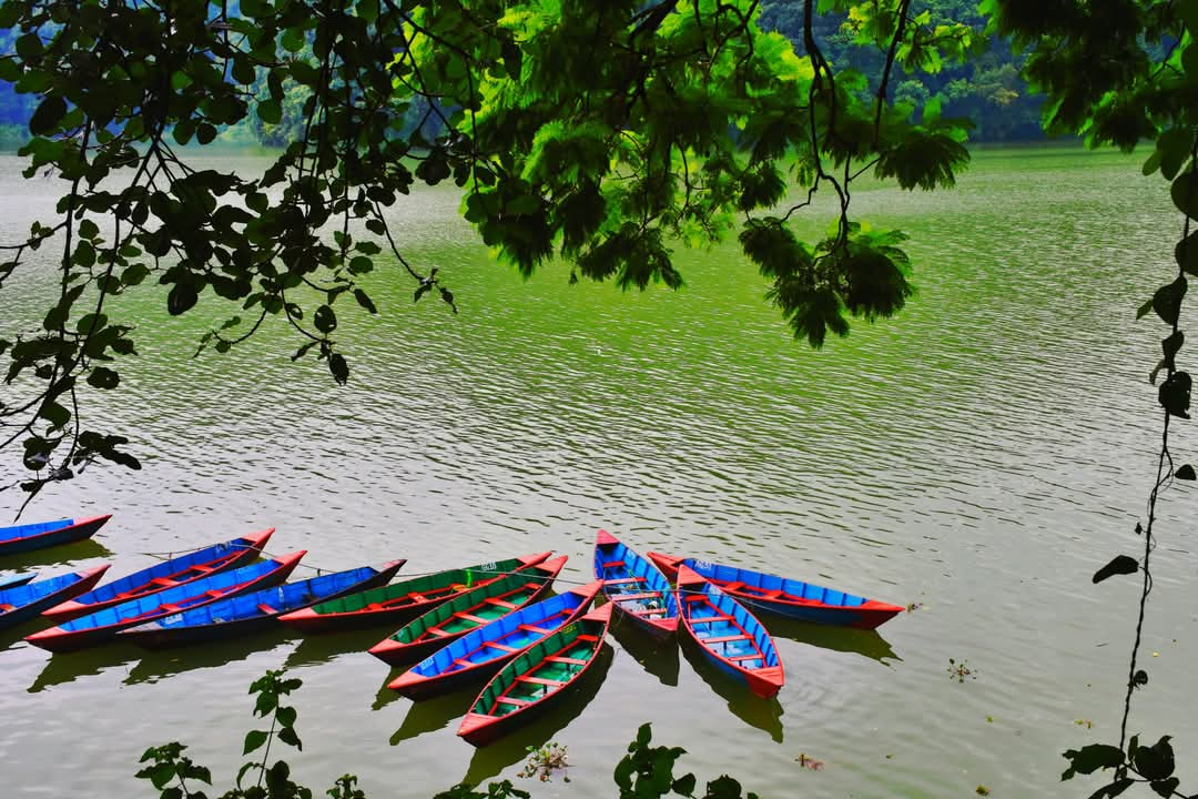
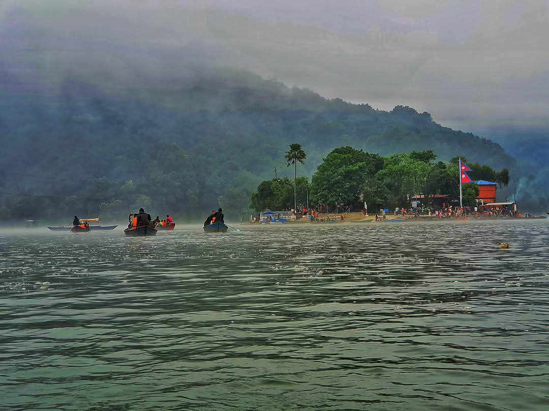
- Experience Pokhara’s rich cultural and natural heritage.
International Registration:
- Early Bird: $500
- Regular: $550
National Registration:
- Early Bird: Nrs 20,000
- Regular: Nrs 25,000
New Regular registration Deadline : December 20, 2025
(Registration includes full board accommodation (Breakfast, lunch, dinner, stay and local transportation to the venue for 6 days) and tuition fees)
- Registration Fee Waiver for 5 national participants.
- Registration Fee Waiver for 2 international participants and travel support for 1 International participant.
DiSTRUCT Solutions SARL is a design-build and R&D engineering firm, established in 2016. The firm is multidisciplinary, specializing in Tangible Heritage and Rock Engineering, including:
- Digital survey, Non-destructive Testing, Structural analysis & FEM, Seismic assessment, Rock Mechanics, Restoration and Heritage Capacity Building workshops.
Our research and professional practice activities stem from complex case studies that demand innovative solutions, particularly for built and tangible heritage, rupestrian Heritage, and rock mechanics.
Built upon the extensive expertise of its skilled members and its CEO and founder, Dr. Eng. Michel Chalhoub, the team consists of multicultural senior and young professionals, holding PhDs and Master’s degrees from leading global universities in engineering, architecture, and Built Heritage restoration. We operate internationally, with projects spanning the Middle East, North Africa, and the Gulf region.
 The MIRAI Foundation is a nonprofit organisation committed to advancing interdisciplinary research and innovation in the fields of Artificial Intelligence, Digital Heritage, and Sustainable Development. Founded by a team of engineers, researchers, and funding experts, MIRAI focuses on transforming cutting-edge technologies into meaningful solutions for cultural preservation, capacity building, and evidence-based policy.
Registration for a student or professional from a developing country to participate in the summer school, sponsored by Derek AR Moore, PhD, FAIA, co-founder of the Cultural Heritage Finance Alliance (CHiFA).
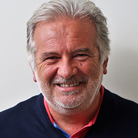
Prof. Fulvio Rinaudo
Fulvio Rinaudo is a Full Professor in Geomatics at the Department of Architecture and Design, Politecnico di Torino, Italy. He has held several prestigious academic and leadership roles, including Vice-Rector for Teaching and Scientific Activities at Turin Tashkent Polytechnic University in Uzbekistan (2021–2024) and President of ICOMOS ISC CIPA Heritage Documentation (2024–2027). He has also served as General Secretary of both the ICOMOS Italia Committee and CIPA-HD, and currently co-chairs ISPRS Working Group II/6 on Cultural Heritage Data Acquisition and Processing. Prof. Rinaudo is a key contributor to the ERASMUS+ ERAMCA project and a member of the Ph.D. School in Architectural Heritage at Politecnico di Torino. With over 320 scientific publications (SCOPUS h-index 24), his research interests include digital and analytical photogrammetry, terrestrial laser scanning, GIS applications for cultural heritage, HBIM, multispectral data integration, AI, and video photogrammetry. He is recognized internationally for advancing digital documentation and preservation of cultural heritage.
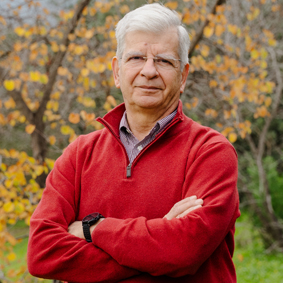
Andreas Georgopoulos
Andreas Georgopoulos is basically a Surveyor and Geomatics Engineer, who fell inlove with Photogrammetry about 50 years ago. Hence he obtained his MSc and PhD(UCL) on this subject and afterwards he chose to teach it to younger students as a Professor at NTUA, Lab of Photogrammetry. Cultural Heritage and Monuments are hissecond love and all these years he is trying to make the one work for the other withsome success. He teaches Photogrammetry and Monument Recording toundergraduate and postgraduate students of Surveying, Architecture and Archaeology. His research activities include all kinds of contemporary optical methods for geometrically documenting monuments of all sizes. Among others, he has worked forthe geometric documentation of Knossos (in Crete), of the Acropolis Hill, of the Churchof the Holy Sepulchre (in Jerusalem), of the Dafni Monastery (in Athens), ofmonasteries on Mount Athos, Byzantine Churches in Cyprus and many moremonuments all over Greece.

Margarita Skamantzari
Margarita Skamantzari is a Senior Researcher and Project Manager at the Laboratory of Photogrammetry, School of Rural, Surveying, and Geomatics Engineering at the National Technical University of Athens (NTUA), and at the Institute of Communications and Computer Systems (ICCS). She holds a Master of Engineering in Rural, Surveying, and Geomatics Engineering (2017) and an MSc in Protection of Monuments (2019). With over six years of experience, she specializes in the geometric documentation of monuments, 3D modeling, laser scanning, photogrammetry, remote sensing, and virtual/augmented reality applications. Margarita actively contributes to EU Horizon projects and promotes interdisciplinary collaboration as Co-chair of the CIPA Emerging Professionals group and Expert Member. She has consistently participated in CIPA Summer Schools since 2019 across various international locations.
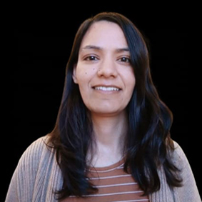
Laxmi Thapa
Laxmi earned her undergraduate degree in Geomatics Engineering from Kathmandu University, Nepal, in 2012. Since 2013, she has served as a Geomatics Engineer (Survey Officer) at the Survey Department under the Government of Nepal, contributing to various projects. From 2017 to 2019, she completed a master’s degree in Geospatial Technologies through the Erasmus Mundus Joint Degree Program, studying in Portugal, Germany, and Spain. She has been actively engaged in multi-disciplinary research, focusing on the application of geospatial technologies for Earth observation. In 2023, she spent a year at the University of Oxford as an early-stage researcher, investigating the vertical distribution of aerosols using multi-sensor data and machine learning. Currently, she is a doctoral candidate at Aston University, UK, where her research explores the integration of emerging technologies into disaster management systems in Smart Cities.
She is also involved in research on the use of UAVs for developing Digital Twins. Laxmi serves as the President of the ISPRS Student Consortium (2022–2026) and has been actively involved in organizing capacity-building initiatives to foster knowledge exchange and networking among young professionals in Photogrammetry, Remote Sensing, and GIS on a national and global scale.
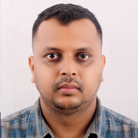
Umesh Bhurtyal
Er. Umesh Bhurtyal is the Head of the Department of Geomatics Engineering at Pashchimanchal Campus, Institute of Engineering, Tribhuvan University, Pokhara. Appointed in April 2024, he also serves as the M.Sc. Program Coordinator for Geospatial Engineering. With a Master’s in Cartography and Geographic Information Systems, Er. Bhurtyal is an Assistant Professor whose research focuses on GIS, remote sensing, spatial analysis, and environmental modeling. His scholarly contributions include studies on urban growth prediction, flood hazard mapping, and weather forecasting using deep learning. He is actively involved in academic collaboration and research dissemination, contributing to Nepal’s geospatial science and education.
For further information and registration details, please contact:
Department of Geomatics Engineering, Pashchimanchal Campus
Email: [email protected]
Phone: +9779864899712
Website: https://ioepas.edu.np/
Join us in Pokhara, Nepal, for an immersive learning experience in 3D Surveying and Cultural Heritage Documentation!


